
Order over $150 and get Free shipping in Canada
Free shipping Across Canada On Orders Over $150
Order over $150 and get Free shipping in Canada
Free shipping Across Canada On Orders Over $150

We are lucky to have tons of high-quality trails here in the Rockies. Although great views are in our backyard, a few more difficult and longer trails deserve the status of “Classics” by the quality of the scenery and the world-class trail running that they offer. Think Northover Ridge, Skyline, Berg Lake or the Rockwall for example. No wonder why so many backpackers have these on their bucket list!
As trail runners, we have the advantage that we can enjoy these astonishing landscapes without the burden of an overnight pack, as long as we can make it in less than a day.
Last week, we ran the Rockwall with FKT-holder Adam Campbell (6 hours and 3 minutes) and some friends of ours. It consists of a 56 km point-to-point circuit in the Kootenays and it is renowned for some of the best alpine running one could ever dream of.
A few stats (according to my watch):
After dropping a car at the Paint Pots trailhead not too far from Marble Canyon, we drove down to the Floe Creek trailhead to begin our journey on the Rockwall. Although running from South to North means a net elevation gain at the end of the day, it is also the easiest way to do it. Most of the elevation gain is achieved during the first half of the trail and the last 14 kilometres towards the Paint Pots is an enjoyable downhill.
8:40 AM, time to get going.
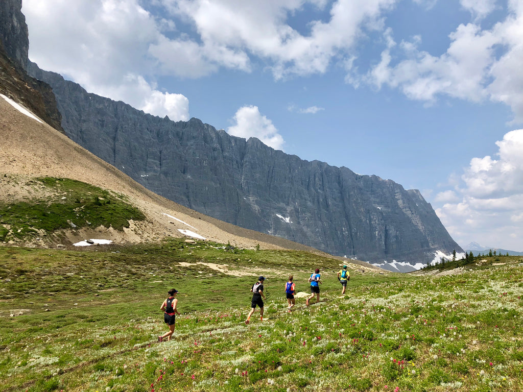
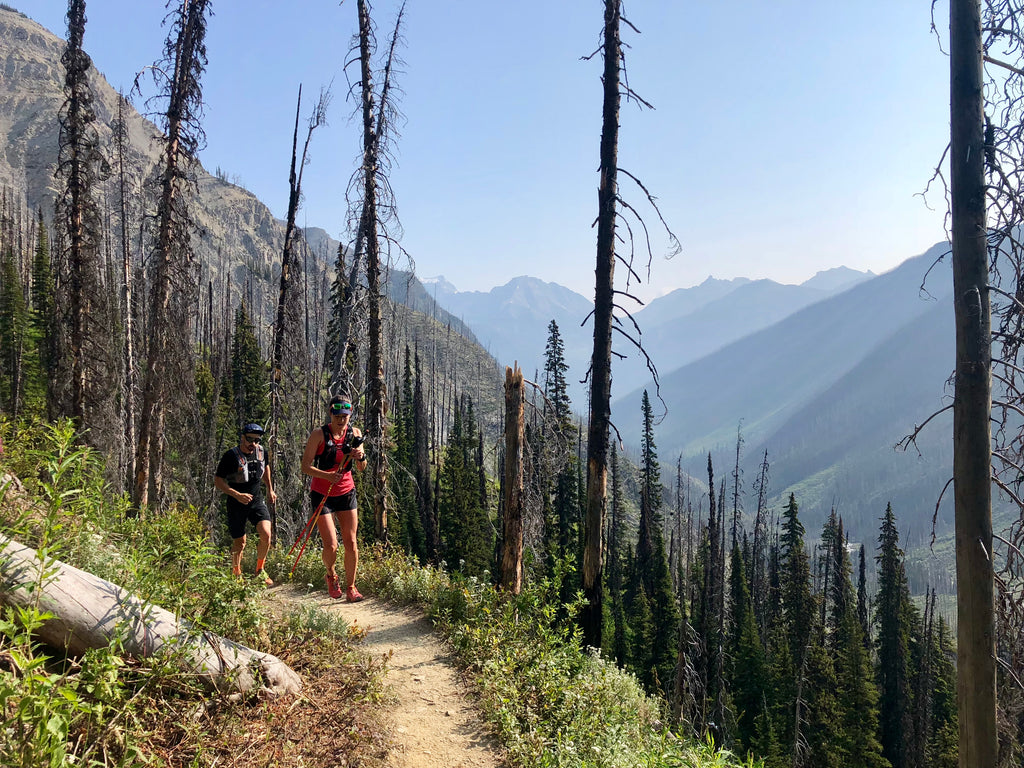
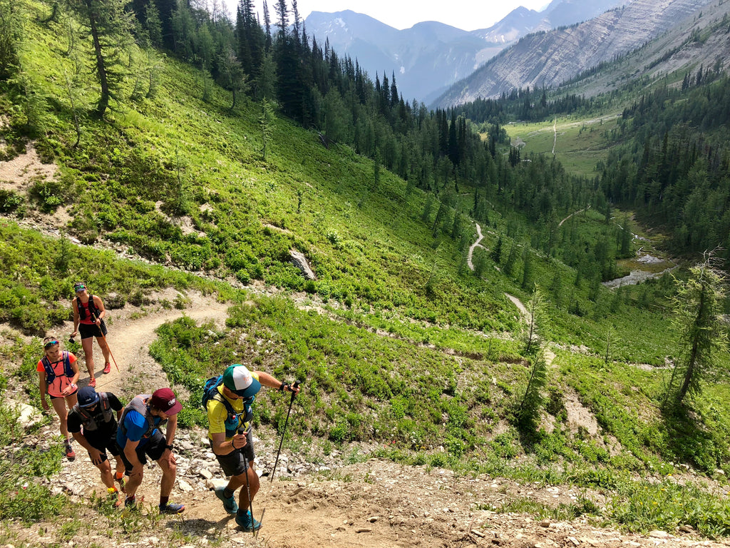
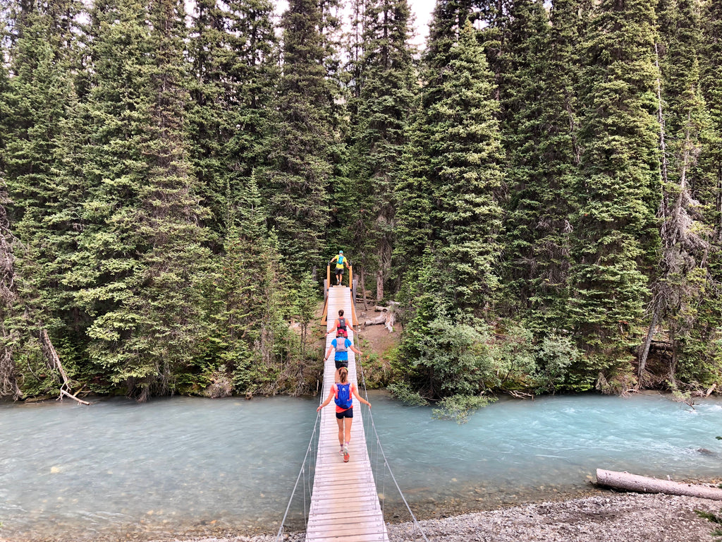
The first few kilometres on the Rockwall are the classic Kootenay experience. It’s a beautiful trail in a burnt forest and offers some seriously enjoyable views. A pleasant uphill then takes us up to the first highlight of our trip, Floe Lake (km 10). As we will do for every future creek crossings we’ll encounter, we stop a few minutes to top our flasks and bladders and we head up gradually towards Numa pass, our highest point of the day.
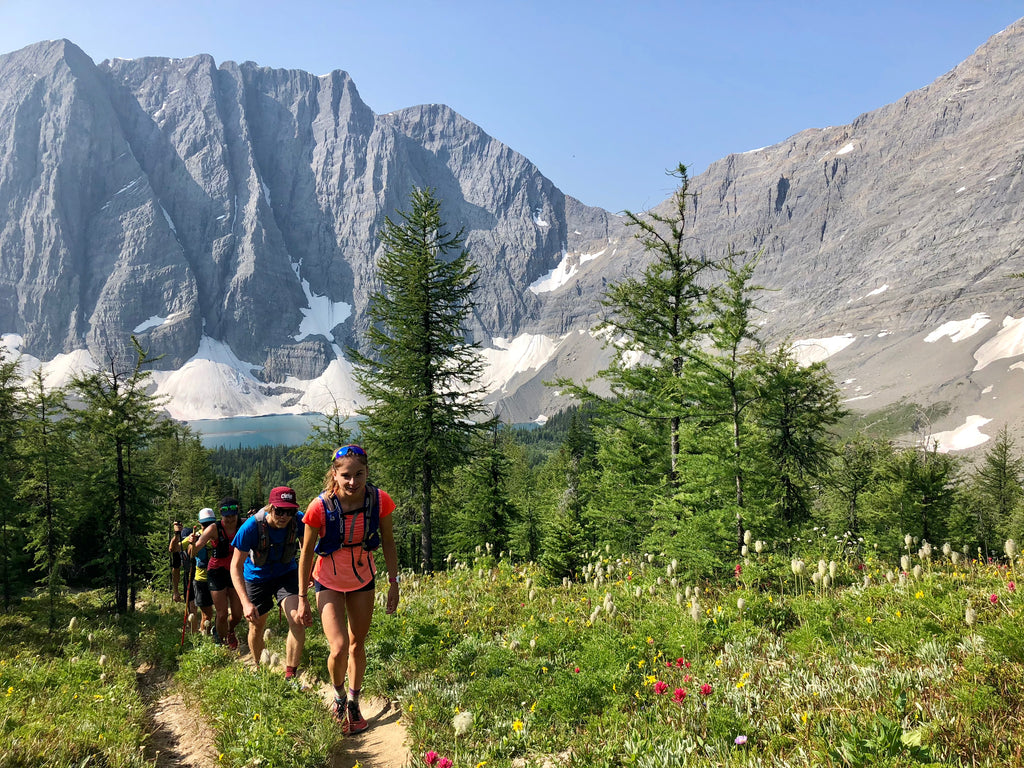
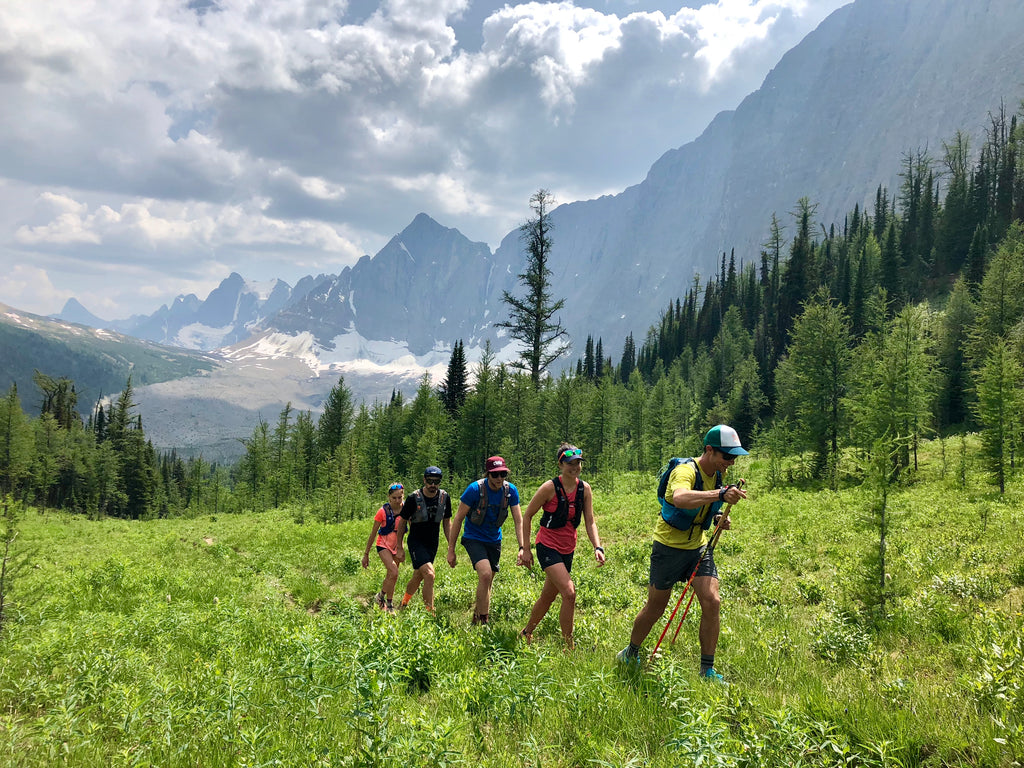
Tumbling Pass is up next, a fitting name for a few falls and “tumbles” along the way. Despite some “just ok” views on the climb above Numa Creek, we quickly reach tree line and the views above are simply breathtaking. Hanging glaciers, seracs, glacier-fed rivers and blooming flowers are all we can see for miles. One would expect the best sceneries to be over past that point, but the trail keeps offering outrageous viewpoints for a total of over 30 kms, down into Tumbling Valley and up over Rockwall Pass.
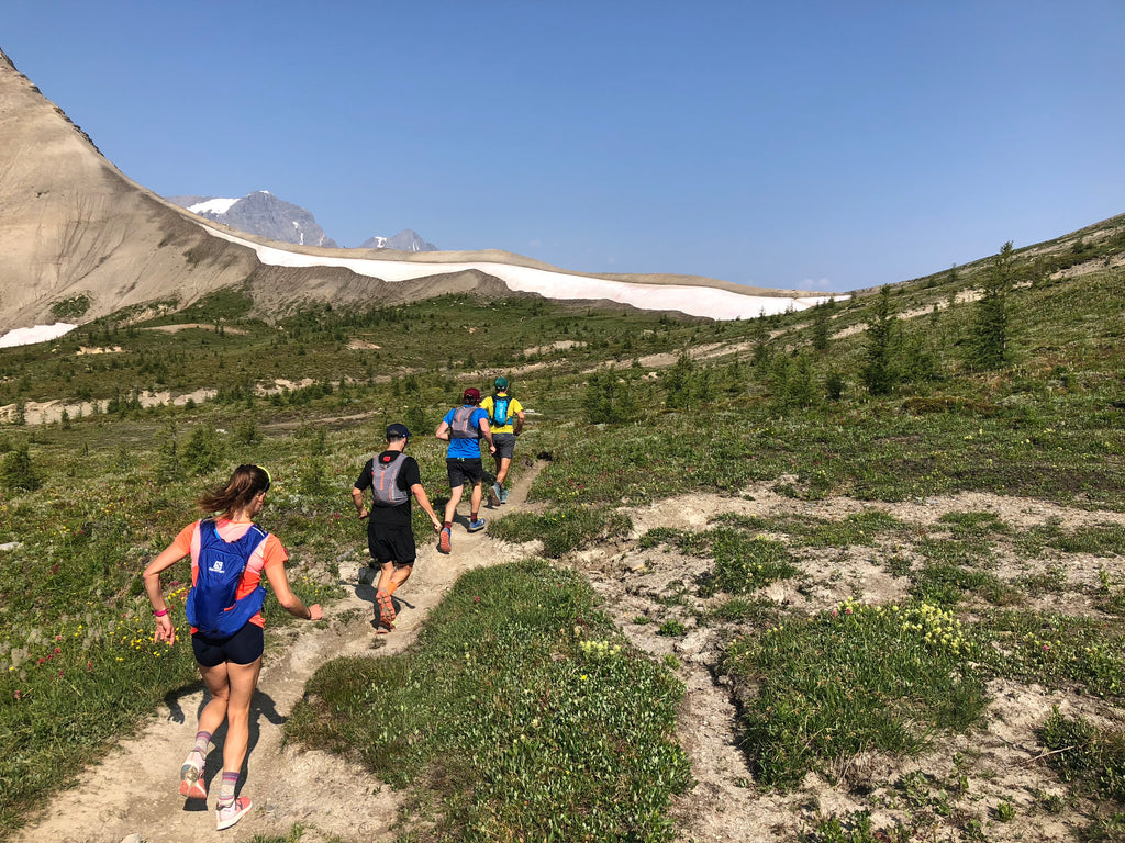
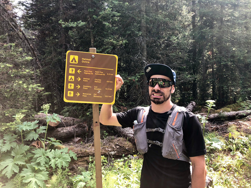
By the time we are at Helmet Falls, we have already covered 42k or so and most of the difficulties are behind us. All that is left is a fun, mostly downhill single track that takes us back down to the Paint Pots. A total of just under 9 hours and views for days!
A few tips and tricks to venture on long alpine runs
Now that you have some additional info, go get those routes. It’s summer and time for big trail runs.
{"one"=>"Select 2 or 3 items to compare", "other"=>"{{ count }} of 3 items selected"}


